Scientists have been puzzling over the secret of building the Egyptian pyramids for decades. Why and how did ancient people build dozens of monumental structures in the middle of a barren desert, far from the banks of the Nile River? It is possible that in fact the Pyramids of Giza were not always located in an isolated area of the desert. According to recent studies, when they were first built, they were located along a branch of the river system, which served as a water transport artery. However, the sleeve soon ceased to exist. This discovery may help answer many questions that have long remained a mystery to scientists.

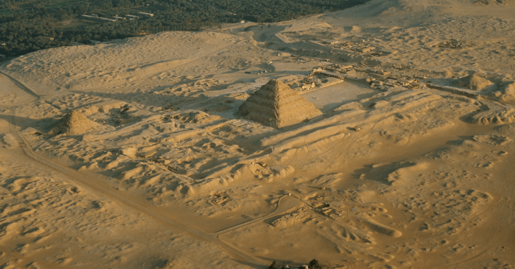
Scientists have found out how the ancient Egyptians delivered building materials to the construction site of the pyramids. Photo source: nationalgeographic.com
How the ancient Egyptians delivered building materials to build the pyramids
Currently, more than 30 Egyptian pyramids are known, located between Giza and Lisht, on the edge of the lifeless Western Desert, which is part of the Sahara. The most famous of them — The Great Pyramid of Giza, which is one of the Seven Wonders of the World.
Scientists have always been interested in the question of how ancient people, without modern technology, delivered building materials and erected such monumental structures. Various versions have been put forward regarding this matter. For example, according to one of them, stones were delivered along a paved road. However, many scientists assumed that the pyramids were built next to the dry bed of the Nile. Some early studies also pointed to the existence of a waterway.
Now, a study published in the journal Communications Earth & Environment, scientists have discovered a now-vanished branch of the Nile. It's worth noting that Eman Ghoneim, a professor at the University of North Carolina at Wilmington and the study's lead author, first noticed traces of the Ahramat Arm about two years ago in multispectral satellite photographs that display data captured at wavelengths of light invisible to the eye.

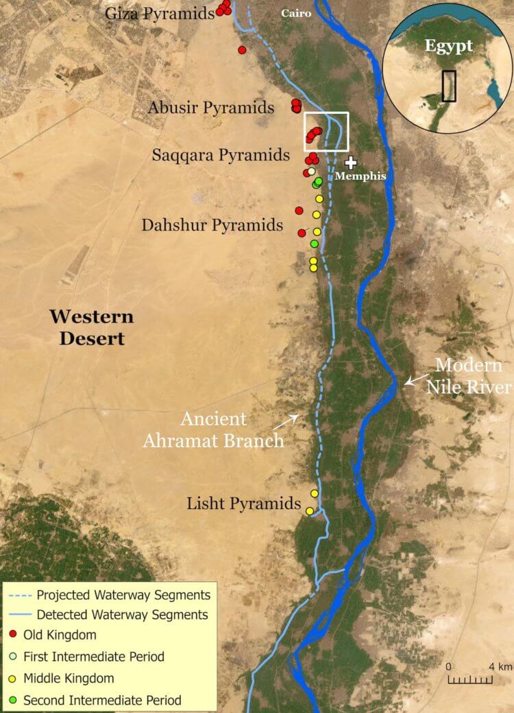
The area where the Nile branch previously flowed. Photo source: www.iflscience.com
The team subsequently examined digital elevation models extracted from satellite radar data, which revealed landscape features and characteristic anomalies. Then, to confirm their assumptions, scientists conducted geophysical studies at the supposed location of the sleeve and studied the sediments. As a result, their guesses were confirmed — a water artery flowed near the pyramids.
This means that building materials could be delivered to the pyramids by water transport, which greatly simplified the task for the builders. As a matter of fact, it is much more logical to assume that the pyramids were not built in the middle of the desert, where it is difficult to deliver stones, but along the river bank.

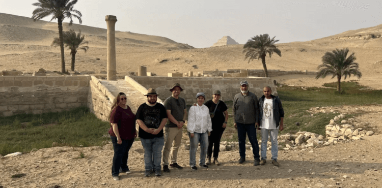
Research group in front of the Unasa Valley, which could have been a river harbor. Photo source: www.iflscience.com
A large ancient river in Egypt that no longer exists
According to the study, the missing branch of the Nile, which was called “Ahramat”, which means “pyramid” in Arabic, was more than 60 kilometers long, its width could reach 500 meters or even more, and its depth — about 25 meters. The waterway ran between the city of Lisht, about 30 miles south of Cairo, and the site of the Pyramids of Giza. Currently, only one small area of water has survived in the form of the Bahr el-Libeini canal near the pyramids of Abu Sira.
“Many pyramids belonging to the Old and Middle Kingdoms have dams that lead to a branch and end temples in the valley. Perhaps they served as river harbors” — says Eman Ghoneim. Also, according to her, Ahramat was most likely a «superhighway» ancient Egypt.
When a region rich in rivers turned into a desert
According to researchers, the region changed from desert to savannah about 12,000 years ago, which was associated with rising sea levels after the last phase of the Ice Age. Between 12,000 years and 5,000 years ago, much of the Nile Valley was inhospitable due to high water levels and marshy terrain.

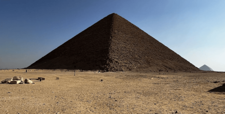
The missing branch of the river may have played a key role in the construction of the pyramids. Photo source: livescience.com
It was not until 5,000 years ago that people began to visit the Nile Valley, perhaps to fish. By 2700 BC, the various branches of the Nile provided comfortable conditions for the founding of the Old Kingdom of Egypt, although there were still large-scale floods.
It appears that the branch of the river, which served as a transport artery for the delivery of building materials, became disappear 4,200 years ago, just a century after the pyramids were built. After a severe drought, the strip was covered with sand blown by the wind, resulting in a desert in place of the river.
Don't forget to subscribe to our Zen and Telegram channels so you don't miss the most interesting and incredible scientific discoveries!
Now scientists are going to carry out radiocarbon dating of the remains of discovered plants, shells in sediments and other similar finds. This will confirm the age of the Ahramat branch.