8 February 2005 Google launched Google Maps with maps all over the world. He became a headache for many countries as maps and satellite images showed everything, including secret military facilities.
Google Maps, like many other popular services of Google, were not invented by the company itself. Two Danish programmers in in 2003 found their partners in Australia and founded a start-up Where 2 Technologies. First they wrote a mapping program that users had to download and install on their computers, but before you make a deal with Google, changed the concept to a web service for web browsers. Internet giant development like, the startup has consumed, and the brothers got to work on yourself. Around the same time Google bought another young company Keyhole, which was engaged in the processing of satellite images of the Earth’s surface. Of these two components and get Google Maps.
Company name Keyhole (“keyhole”) is a reference to the name of a secret American spy satellites project “Crown”, which followed the territory of the USSR and China. The project closed in 1972.
Run Google Maps (and Google Earth with additional features) was a great joy for users and problem for the military around the world. While curious visitors studied previously inaccessible to them detailed maps and satellite images all over the world, the authorities of the countries thought to hide from prying eyes secret objects. Fortunately for the latter, Google quickly realized that it smells like a full prohibition of access, and began to take from the governments bid to cover up what mere mortals it is better not to see. In democratic States, for example, with the card removed, not only military bases (some have remained in a very weak detail), but also oil refineries.
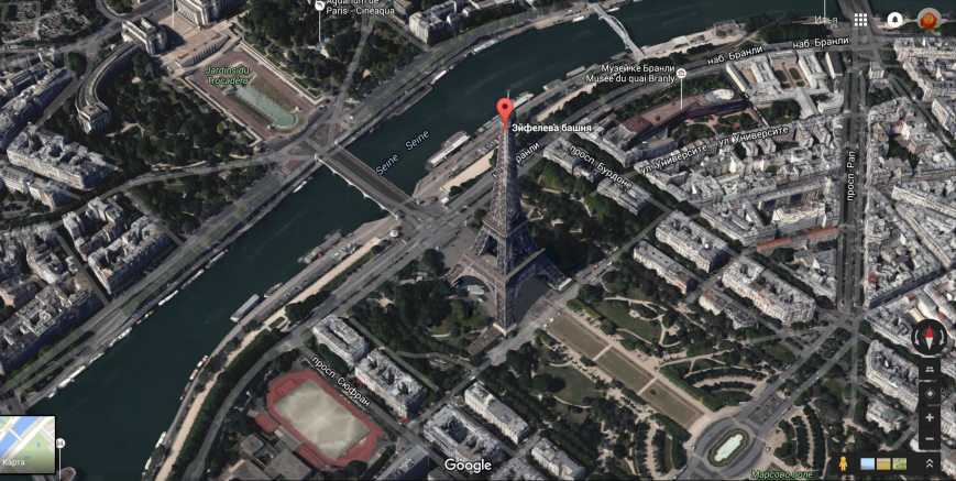
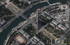
Paris in 3D mode on “Google Maps”
Over time Google Maps has acquired dozens of new features. On “Maps” you can create routes, including Hiking and Cycling in large Western cities are available in the street panorama, appeared navigation inside buildings (shopping malls, airports, etc.), detail photos of the capitals have improved by using aerial photography, implemented a three-dimensional mode, and in 2014 appeared on maps mode diving — you can swim underwater in the Great barrier reef region.
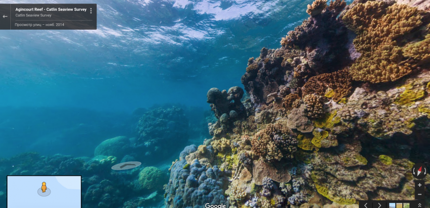
The great barrier reef on the “Google Maps”
Not all countries Google Maps are working full. North Korea is present only in the form of satellite images, without descriptions of towns and roads. In China it is impossible to lay a route, and pedestrians are forced to put up with “error shift”. Due to the fact that China uses a different coordinate system than that inherent in GPS, you can see yourself on the map — blue dot — hundreds of meters away from real position. In principle, a Chinese data provider is working with Google, has licensed the algorithm that corrects this error, but for some reason “Map” is still a bit “travelled” despite thousands of user requests.
By the way, for ten years of existence, Google Maps has gone far beyond the limits of the terrestrial atmosphere. On the same engine that Google launched maps of the moon and Mars.